
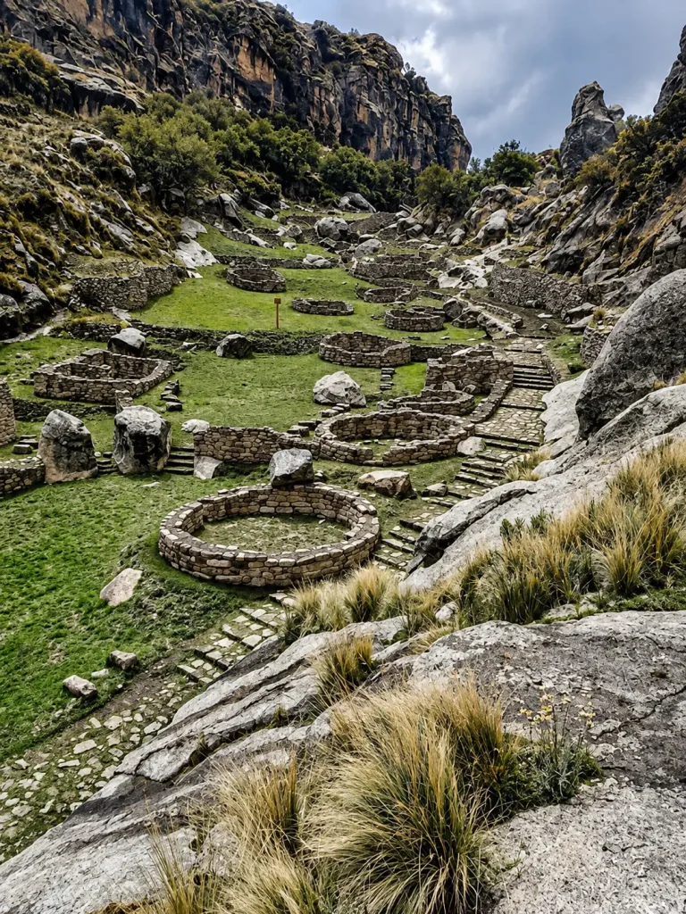
Learning how to get to Taqrachullo is an excellent decision for those looking to explore fascinating pre-Hispanic sites in southern Peru. This majestic archaeological monument, also known as María Fortaleza, is located in the province of Espinar in the department of Cusco. Due to its geographical location in the Andean canyons, organizing the route requires reliable information about transportation, schedules, and roads. Planning how to get to Taqrachullo involves traveling through impressive highland landscapes, inter-Andean valleys, and beautiful volcanic-origin geological formations. In addition, the tranquility of this destination allows you to enjoy an authentic tourist experience without the large crowds traditionally found in urban areas. Therefore, knowing how to get to Taqrachullo makes it easier to enjoy a safe, efficient adventure free of logistical setbacks. In this detailed analysis, we will cover each section of the route, safety tips, and little-known secrets of the journey.
Booking Inca Jungle offers options for organizing your trips around Cusco.
Main Route and Transportation to Taqrachullo from Cusco
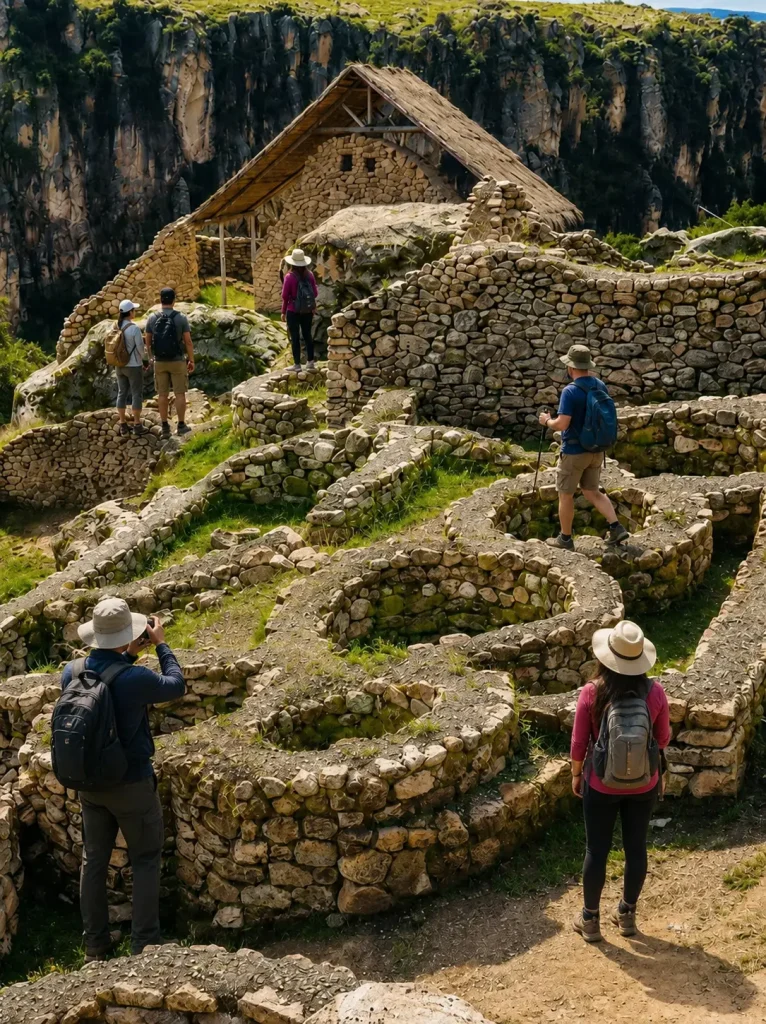
Planning how to get to Taqrachullo from Cusco requires knowing the ground transportation options available in the region. The route to Taqrachullo usually starts from the imperial capital and extends south toward the highland provinces. To begin this journey to Taqrachullo, the most common option is to take buses or minivans at the bus terminal. The initial journey follows the paved highway connecting the towns of Sicuani and Yauri. Due to the geographical distance, the first section takes approximately four to five hours of continuous travel. Later, from the city of Yauri, visitors must take secondary local transportation to complete the final access. Consequently, understanding this combination of vehicles is crucial to knowing how to get to Taqrachullo successfully.
Interprovincial Section from Cusco to Sicuani and Yauri
The first segment of the road to Taqrachullo runs along the Southern Pan-American Highway toward the city of Sicuani. From this important commercial town, the vehicle detour toward the highland province of Espinar begins. Indirect transportation to Taqrachullo companies offer departures from early morning hours with high daily frequency. Therefore, it is recommended to begin the journey before dawn to make the most of the daylight hours along the route.
Local Section from Yauri to Suyckutambo
The final section of the route to get to Taqrachullo is completed by taking combis or shared vans from the city of Yauri. These local vehicles travel toward the district of Suyckutambo, passing through picturesque rural villages in the Cusco highlands. The journey along this road to get to Taqrachullo takes about one hour to the point known as Totorani Bridge. At this exact point, the vehicle road ends and the pedestrian trail leading directly up to the monument begins.
Booking Inca Jungle can help you plan your tourist transportation in Cusco.
Road to Taqrachullo and Access Hike
Understanding the physical condition of the trail is vital to knowing how to visit Taqrachullo without health-related setbacks. Access to Taqrachullo consists of a marked bridle path that climbs along the rocky cliff of the canyon. This Taqrachullo access route features moderate slopes that require a steady walking pace to avoid muscle fatigue. Likewise, the directions to get to Taqrachullo indicate crossing small traditional bridges and stone steps of ancient origin. Due to the altitude, taking short breaks to breathe fresh air is essential throughout the ascent. Consequently, knowing how to travel to Taqrachullo on foot means bringing suitable footwear with good traction for rocky surfaces.
Stone Trails and Safety Measures
The final pedestrian path runs along impressive cliffs with direct views of the famous Tres Cañones Regional Conservation Area. Due to this topographical condition, the safety boundaries installed by tourism authorities must be respected. It is essential to walk along the center of the trail and avoid getting too close to the vertical edges of the rocky gorge.
Terrain Conditions According to the Season
The characteristics of the ground change substantially depending on the time of year when you decide to undertake the exploration hike. During the dry season from May to October, the ground remains firm, dry, and easy to walk on. In contrast, during the rainy season from November to April, the stone becomes slippery due to moisture.
Physical Preparation and Prior Logistics Before the Trip
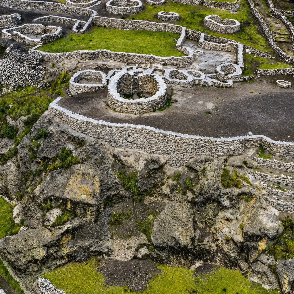
Knowing how to get to the Taqrachullo archaeological site involves properly preparing for the effects of the Andean elevation. The monumental complex is located more than 4,000 meters above sea level in the highlands. For this reason, understanding how to explore Taqrachullo requires prior acclimatization in the city of Cusco. Altitude sickness or soroche may occur if you attempt the ascent too quickly without resting. In addition, tourist services nearby are limited, requiring travelers to plan ahead for food and water. Therefore, reviewing these logistical aspects ensures a pleasant hike free of medical emergencies in the mountains.
-
Required acclimatization days: It is suggested to stay at least two full days in areas of moderate altitude before the trip.
-
Light food and hydration: Eat low-fat meals and drink plenty of muña water or coca tea.
-
Sufficient cash: Carry money in small-denomination bills due to the absence of ATMs.
-
Basic personal equipment: Use lightweight ergonomic backpacks, windproof and waterproof jackets, and hiking poles with protected tips.
-
Radiation protection: Apply broad-spectrum sunscreen and wear wide-brimmed hats with dark sunglasses.
Little-Known Details About How to Get to Taqrachullo
There are particular logistical aspects that do not usually appear in generic tourist guides about this pre-Hispanic monument. A determining detail about how to get to Taqrachullo is the limited frequency of return transportation in the afternoon. Many local shared vans between Suyckutambo and Yauri stop providing regular service after four in the afternoon. Because of this limitation, coordinating the pickup time with a local driver in advance is highly recommended. On the other hand, mobile phone coverage is extremely unstable at the bottom of the Apurímac River canyon. Therefore, downloading satellite maps to your mobile device before departing ensures continuous and accurate navigation.
Private Transportation Coordination and Local Services
To avoid delays at local stations, hiring a private taxi service in Yauri represents the most convenient option. Although the financial cost is slightly higher, the flexibility of the schedule allows you to explore the ruins without time pressure. Likewise, local drivers know the best photographic stops along the Tres Cañones Regional Conservation Area.
Changing Weather Conditions in the Canyon Area
The climate in this region of the province of Espinar is characterized by sudden temperature changes throughout the day. While mornings often feature bright sunshine, the cold afternoon wind quickly lowers the perceived temperature. For this reason, dressing in a thermal layering system makes it easy to adapt to changes in the environment.
Estimated Travel Times and Budget
To organize a successful trip, it is essential to accurately calculate the total duration of the journey and operating expenses. Financial planning allows you to optimize resources and make smart logistical decisions during the journey to the complex.
| Route Section | Type of Transportation | Estimated Time | Approximate Cost |
| Cusco to Sicuani | Interprovincial Bus | 2.5 hours | 15 – 20 Soles |
| Sicuani to Yauri | Minivan or Shared Van | 2 hours | 15 – 25 Soles |
| Yauri to Suyckutambo | Local Shared Van or Taxi | 1 hour | 10 – 50 Soles |
| Pedestrian Ascent | Walking | 45 minutes | Free |
You can also consult with Booking Inca Jungle to organize your adventure through the Andes, contact us.
Frequently Asked Questions
Can organized tours departing directly from Cusco be booked?
There are travel agencies specializing in Cusco that offer private expeditions to the Tres Cañones Regional Conservation Area. These tour packages usually include private round-trip transportation, a professional guide, and full meals during the day. Although the financial investment is higher than traveling by public transportation, comfort and time optimization are significantly greater. It is ideal for families or photographers seeking absolute comfort.
What is the difference between traveling during the dry season and the rainy season?
Traveling during the dry season between May and October guarantees clear skies, dry trails, and excellent panoramic visibility for taking photographs. In contrast, during the rainy season from November to April, the landscape becomes intensely green and rivers increase their flow. However, rainfall can make walking along stone trails more difficult and cause delays on unpaved roads.
Is it possible to camp near the Taqrachullo archaeological site?
Free camping within the archaeological structures is strictly prohibited by regulations of the Ministry of Culture of Peru. However, there are authorized camping areas near Totorani Bridge and in designated areas of Suyckutambo. It is essential to bring mountain equipment suitable for below-freezing temperatures, as nights in the highlands are extremely cold. In addition, you must collect all generated waste to preserve the natural environment intact.
What other tourist attractions can be visited on the same trip?
The journey allows you to explore the impressive natural surroundings of the Tres Cañones Regional Conservation Area with its imposing cliffs. Likewise, in the same province of Espinar, it is possible to explore the archaeological complex of Kanamarca and the beautiful colonial church of Coporaque. Including these destinations in a two-day itinerary allows you to make the most of your trip to the highland provinces of Cusco.